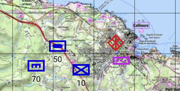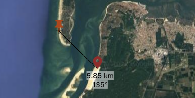
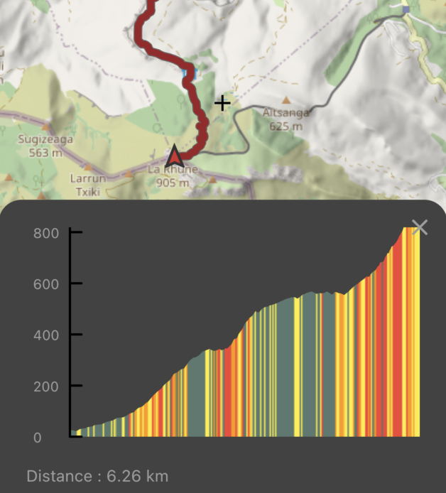
Waypoints, traces and measures
- Creation and customization of markers and traces.
- Sharing data in gpx format.
- Measure distances and angles in ° or mil.
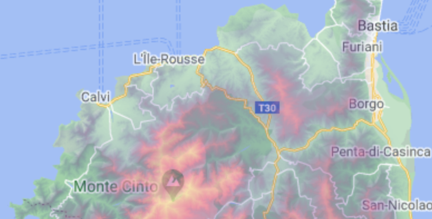
Free maps and GPS location for outdoor sports or military use
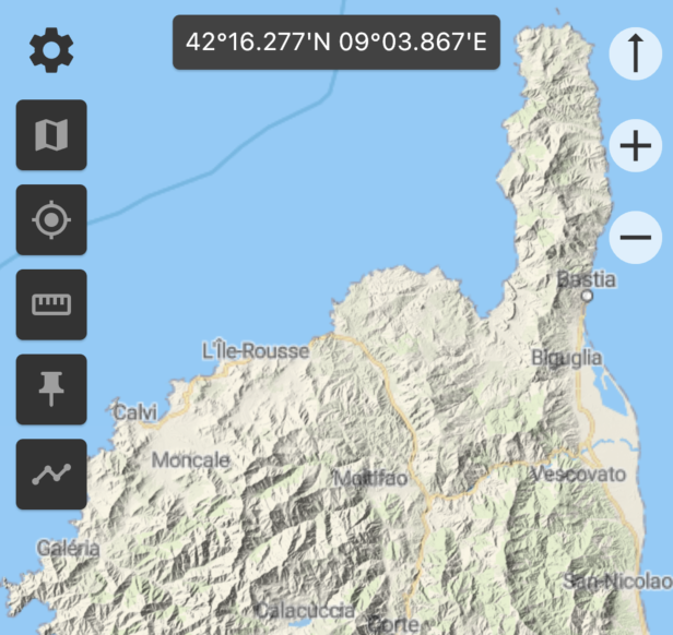
Multiple maps and layers : topography, satellite, OpenStreetMap©, Google© Maps, IGN© - France...
Download maps in order to display them when you are offline or share them with other users (MBTiles format).
Visualize your position and record traces using the GPS signal.
Share your location with other users.